
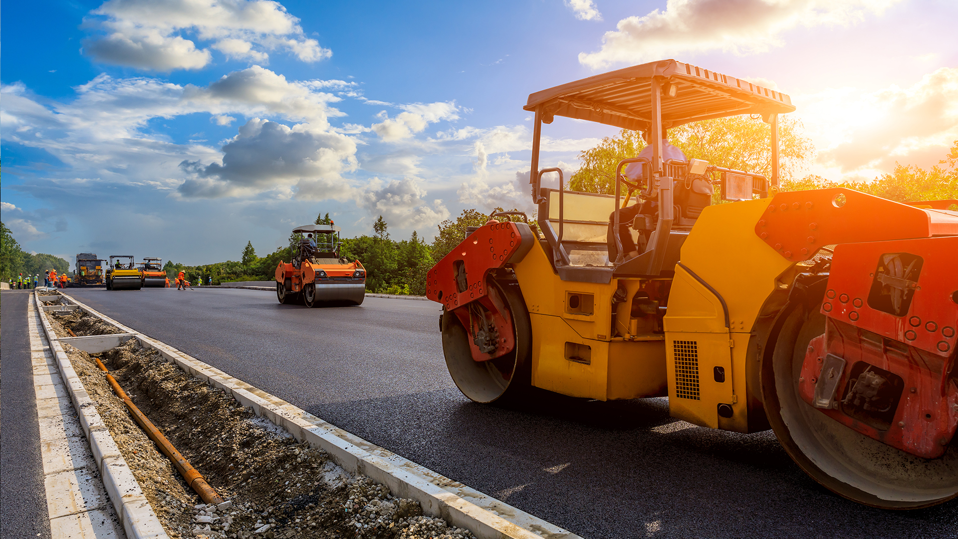
Paving Artificially Intelligent
with Temperature Control, thickness, leveling and compaction
“The technological evolution applied to the segment already allows us to obtain optimum performance even with a less experienced team”

Optimizing Road Infrastructure: The Life Cycle, BIM Methodology, and Enhanced Project Management
Streamlining Road Management with BIM: Centralized Data and Collaborative Efficiency
A BIM System in Road Management consists of a software that puts at the disposal of the infrastructure manager all the necessary information, from the position and status of each inventory item or road, as all projects, files and activities associated, as well as any related information. A BIM system integrates all the information in a conveniently designed common space. Having all the centralized information and using it in all phases of any project allows us to optimize costs, manage information more effectively, and facilitate the emergence of relationships between modules and files, which ultimately facilitate the work of any manager. Likewise, a system of these characteristics allows the different actors involved in the conservation and operation of roads to work in a coordinated manner, from those responsible for public administration and workers of the concession companies, each of whom can access their information, but also sharing the resources that everyone needs.
In short, the BIM in linear infrastructures allows a greater control of the elements and a better reality seen in the initial phase, that of the project, to be later exposed in the final phases.
A good example of the use of this type of technology is the construction in China of intelligent highways based on 5G and AI. This intelligent 5G highway is for autonomous vehicles and traffic tracking based on Artificial Intelligence (AI), through a mobile operator. The urban-scale system under construction will be able to support transport services coordinated by the mobile network, such as intelligent toll stations that will be able to eliminate the current identifiers and human operators (porters). In addition, the operator also plans to collect traffic information in real time and make forecasts supported by Artificial Intelligence using the data, as well as offering support to autonomous vehicles.

New technologies existing in the market, in the construction and conservation of pavements


Figure 1. Example of segregation
Figure 2. IRI scale
Figure 3. Example of an IRI> 3m / KM
Monitoring and control of the temperature of the asphalt mass
Smart paving with real-time thermal visualization for asphalt paving in the present and in the future, allows the optimization of processes and documentation in road construction.
The perfect temperature of the paving material is an extremely important factor in the construction of roads and determinant for the quality of the road. Therefore, the exhaustive thermal visualization of the paving process provides valuable information on the quality of the material and offers completely new optimization opportunities. The infrared (IR) scanner method is a system that creates a thermal profile of the roadway in a clear and simple way and also, in real time. The high-precision infrared temperature scanner creates an exhaustive thermal profile of the extended layer with a total width equal to the width of the asphalt paver and, if desired, can be used as proof of paging and supply temperatures. In this way, the fully automatic display of the temperature offers the possibility of quickly identifying the specific points that may be affected by the thermal segregation to react immediately.
Additional high-performance sensors can be positioned on the pavers where desired, further measuring the temperatures of the material right where the temperature plays a decisive role, whether in the bucket, in the lower layer or in the mixer. This multiple measurement provides numerous highly accurate data. In this way it is possible to know the temperature of the material supplied in real time and, if necessary, document it. Thus, the temperature differences of the paving material can be seen throughout the process, so that if necessary, it can be reacted immediately by taking the appropriate measures.
These technological solutions are an important element for the interconnected work of the future and contribute in a decisive way to the longevity of the road. Its development and its daily use in projects from all over the world are just one more proof that digitization 4.0 is already part of the daily routine of every project.
Characteristics and advantages of the solution - temperature measuring infrared
The unique infrared technology of the scanner offers the decisive advantage that it measures the temperature of the asphalt surface and the material with great precision. In addition, its measurement capacity of a width of up to 13 m makes it technically superior to the camera-based solutions available in the market.
Characteristics of the solution:
- Highly accurate measurement of material temperature for the identification of thermal segregation
- Modular design with individually combinable and expandable components
- Open interfaces for logistics and optimization solutions providers
- Detailed thermal profile of the extended asphalt layer
- Real-time recording and analysis of temperature values
- Cloud solution for easy management of data
Advantages of the solution:
- Optimization of the paving process by monitoring all relevant temperatures in real time
- Display of the thermal properties of the material (thermal segregation)
- Perfect adaptability for the equipment of all types and models of finishers
- Registration of extremely large pave widths